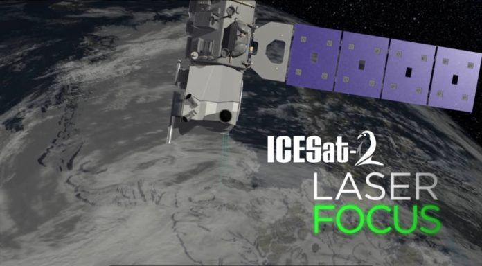
NASA developed a satellite called Ice, Cloud and Land Elevation Satellite-2 (ICESat-2) for ice detection in the Arctic Sea and will be launched in 2018.
The ICEas-2 will use lasers and a precise instrument which measures the time the laser takes to rebound after hitting the Earth, but it will not be able to measure every variable that climate scientists need, like “above-water height versus below.”
It is a planned satellite mission for the measure of ice sheet mass elevation and sea ice freeboard and will be launched from the Vanderberg Air Force Base in California. It was designed to operate for three years and is supposed to carry propellant for seven years.
The Orbital Sciences Corporation is making the ICEsat-2’s launching vehicle
The project is a continuation of the ICES-at mission and will provide elevation data that will determine ice sheet mass balance. It is managed by NASA Goddard Space Flight Center, and the satellite is being designed and built by them too. The Orbital Sciences Corporation is providing the bus.
The levels of ice are decreasing continuously and back in March scientists recorded the lowest level of ice. Later in May, the Arctic Sea lost more ice, but in June, the ever-increasing melting came to a temporary stop.
In order to know how much sea ice is the Arctic losing, the researchers need to analyze the sea ice thickness. People already know that 10% of the ice is above the water, with the other 90% below it, but it is important to know and understand the volume and density of the ice.
NASA expects to measure the true impact of global warming with the data the ICEsat-2 provides
Sea scientist at NASA’s Goddard Space Flight Center, Walt Meier, said the loss of sea ice could have a relationship with the global climate, as the Arctic may change the weather all around the world.
He told Reuters there was already evidence of how the sea ice loss is changing the jet stream. According to him, the jet stream is becoming more of a loopy flow, instead of been more of a west to east flow. He says the new direction it is taking is more like north to south what could provoke events like flooding, droughts, and torrential rains.
“IF WE WANT TO ESTIMATE MASS CHANGES OF SEA ICE, OR INCREASED MELTING, WE NEED THE ICE THICKNESS,” said Goddard’s Cryosphere Lab Chief, Thorsten Markus. “IT’S CRITICALLY IMPORTANT TO UNDERSTANDING THE CHANGES IN THE ARCTIC.”
Climate scientists are working on the understanding of how the weather could unleash disasters around the world due to the ice melting.
Source: NASA


