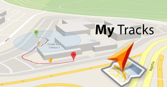
Bad news for those who have been using Google’s My Tracks app, as the tech giant has decided to shut down its services. The app will be available only until April 30, 2016 – after that, it’s gone. You will then need to search for the proper alternatives for the app.
Google is aware that this step will lead to major inconvenience to a lot of people, but the company has decided to do this so that they could focus on other projects.
Maybe this is the reason why Google had not rolled out an update in 2015. The last one we noted was in October 2014 – the addition of Android Wear support and Drive sharing. The company had taken quite a long while before releasing some improvements in battery usage, stats view, and location accuracy for the app.
Google, however, has made sure that no one stays in the dark and provided resources to use and instructions on how to export data. You can continue data tracking with other apps, all you need to do is find an app that suits your needs the best. Google recommends: Google Fit, Endomondo, Strava, GPX Viewer, GPS Logger for Android, Map My Hike, and Map My Run.
Here is how you can export your data.
- Open My Tracks app on your mobile device.
- Go to the Main menu.
- Choose ‘More’ then ‘Export all’.
- Choose the file format you would like to export as (CSV, KML, GPX, or TCX).
File formats supported include KML (locations, markers, photos, and sensor data), GPX (locations and markers but without sensor data), TCX (locations, no markers, and some sensor data), and TCX (locations, no markers, and some sensor data).
Here is how you can export your data to your Google Drive.
- Open the My Tracks app on device.
- Click More> Settings.
- Choose ‘Sync to Google Drive’.
Your tracks will be saved in KML/KMZ format, which you can find inside the “My Tracks” folder.


i need My Tracks , can help me
Finding a replacement is proving very difficult.
Alternatives all want to motivate me.
They want me to set goals, share with fake internet friends and they all use too much battery.
I just want to record where I was, when I was there and view that on a map.
Nice extra would be for it to show routes in different colours depending on speed (just like google’s My Tracks does).