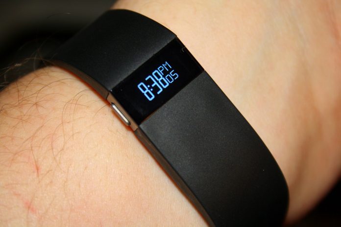
Fitbit is known for its fitness tracking gadgets, which are activity tracking and wireless-enabled wearables that measure data like the number of steps walked, heart rate, climbed steps and even quality of sleep, based in personal metrics to determine these facts.
In 2011 Fitbit was criticized for activity sharing settings, for many people the private data set was unknown, so many complained about the public default setting. The public setting allows the main headquarters of Fitbit to draw a heat map which is published by the GPS tracking company Strava, which doesn’t provide a live map but draws a heat pattern of the 27 million users subscribed through smartphones.
To battle obesity in 2013 the Pentagon encouraged the use of Fitbit devices amongst the military and resulted in the distribution of 2500 as a pilot program, and so provided on tour U.S troops with Fitbit products.
Andrew Rawnsley however, a Daily Beast journalist, noticed a lot of jogging activity from the GPS tracker near a suspected CIA base in Mogadishu.
How did Fitbit compromise U.S military bases?
As the site doesn’t reveal any identification, but it reveals locations with heat trackers, Fitbit is quite an exclusive service. There are many official unknown U.S. or UN military camps, in this case, the fitness tracking app Strava gave away the location of U.S. military staffing and spying outposts through their data visualization map.
Nathan Ruser an analyst for the United Conflict Analysts stated that “the map looks very pretty but is not amazing for operational security, US Bases are clearly identifiable and mappable.”
“If soldiers use the app like normal people do, by turning it on tracking when they go to do exercise, it could be especially dangerous, highlighting one particular track that looks like it logs a regular jogging route.”
Another compromising fact for coalition forces in the Middle East is that basically all of Fitbit and Strava users are foreign military personnel. In particular war zones where the night time is extremely dangerous, the military staff could be exposed.
One of the largest bases was exposed in the Helmand province of Afghanistan, even though it is not visible from Google Maps or Apple, courtesy of the company. However, in Strava’s map, there is a highlighted track giving a layout of the base and its location.
When he looked over Syria on Strava's map, the area "lit up with those U.S. bases," he said https://t.co/ApkRai9lHw
— The New York Times (@nytimes) January 31, 2018
About Strava heatmap
The company Strava announced in 2015 that their new heatmap would increase the amount of data in the upcoming updates. Here a statement published by Strava: “this update includes six times more data than before – in total 1 billion activities from all Strava data through September 2017. Our global heatmap is the largest, richest, and most beautiful dataset of its kind. It is a direct visualization of Strava’s global network of athletes.”


